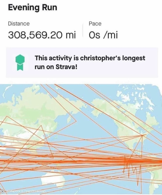
irelephant [he/him]@programming.devM to Software Gore@programming.devEnglish · 1 year agoChristopher went for a long run this evening.programming.devimagemessage-square20linkfedilinkarrow-up1328arrow-down13
arrow-up1325arrow-down1imageChristopher went for a long run this evening.programming.devirelephant [he/him]@programming.devM to Software Gore@programming.devEnglish · 1 year agomessage-square20linkfedilink
minus-squaresaltesc@lemmy.worldlinkfedilinkarrow-up13·edit-21 year agoThis is more about the weird pathing and not the distance, but here’s what it looks like when I have a bouldering session. Apparently I spend a lot of time outside and pass through walls.
minus-squaresaltesc@lemmy.worldlinkfedilinkarrow-up3·1 year agoGet it with a Garmin that uses the two satellite types and worse with a Suntu I use for extreme outdoors. Must be a tin roof or something.
minus-squareObi@sopuli.xyzlinkfedilinkarrow-up2·1 year ago22m elevation during a boulder session? Pick up the slack jeez.

This is more about the weird pathing and not the distance, but here’s what it looks like when I have a bouldering session. Apparently I spend a lot of time outside and pass through walls.
deleted by creator
Get it with a Garmin that uses the two satellite types and worse with a Suntu I use for extreme outdoors. Must be a tin roof or something.
deleted by creator
Just standard GPS drift tbh
22m elevation during a boulder session? Pick up the slack jeez.